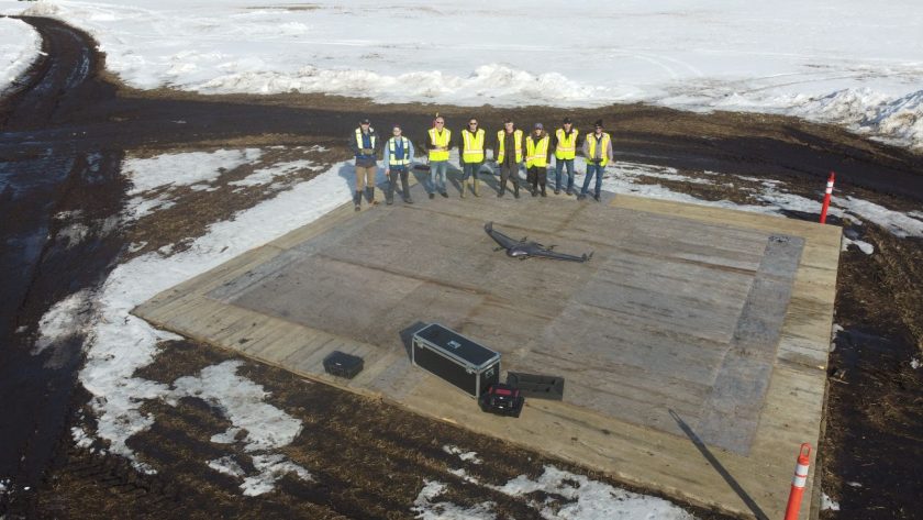
Drone operator AIRmarket reports its longest beyond visual line of sight (BVLOS) aerial inspection of a rail line in Canada. A partnership between Tansport Canada, Telus and Spexi Geospatial enabled the 130km flight lasting 90 minutes. The Deltaquad drone captured over 6,500 photos of two rail lines according to the press release. The data was then collated, annotated and presented to Transport Canada.
Various inspectors and industry specialists from Transport Canada attended the event in order to confirm the processes set in place to ensure the safety and efficiency of the mission.
AIRmarket says the information is critical to the ongoing activities and work with Transport Canada to develop BVLOS standards and regulations for Canadian airspace.
During the live-streaming of the event, participants could see the remote pilot, Cale Griffith, located 30 km away from the launch site, in AIRmarket Operation Command Center. Visual Observers were situated in key locations along the route to ensure flight safety and reporting. The co-pilot, David Kinniburgh, monitored the Deltaquad and conducted the battery exchange and turnaround at key points of the mission.
The mission on March 23 is a result of a contract provided by Transport Canada Ventures in partnership with Spexi Geospatial of Vancouver. It showcased the intricacies of managing several technologies in order to work together to provide high quality visual data that can be used for inspection and maintenance purposes.
Additionally, working together with Telus, Canada’s largest and fastest telecommunications network provider, AIRmarket successfully demonstrated the use of cellular data connected in real time with UTM flight services. AIRmarket utilizes the ground-based surveillance hardware deployed on Telus infrastructure to conduct airspace surveillance of crewed aviation. The Telus solution is integrated with the AIRmarket SKYLINK UTM platform to provide resources required to establish UTM services in a nascent industry.
For more information visit:


