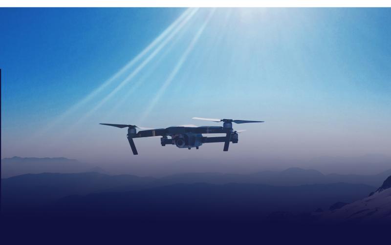
A partnership between Thales and geospatial information management company Airspace Link aims to provide safe integration of Unmanned Aircraft Systems (UAS) into low altitude airspace where the systems are Beyond Visual Line of Sight (BVLOS) of operators. With aviation, community and topographical data for the most accurate situational awareness, UAS operators can quickly and easily file for and receive flight plan authorisation, says a Thales press release.
Thales and Airspace Link have successfully collaborated on projects across the United States, including the development of Vantis, North Dakota’s state-wide UAS network, the first in the nation. Formalizing this partnership will broaden Thales’ robust air traffic management system portfolio and further expand its global market footprint. As an FAA approved UAS service supplier of the Low Altitude Authorization & Notification Capability (LAANC), Thales is supporting UAS traffic management across the US in areas such as New York state. Further, internationally, Thales is providing UAS traffic management for organizations such as the French air traffic management organization, Direction des Services de la Navigation Aérienne (DSNA).
“We envision a future where manned and unmanned aviation operate together seamlessly,” said Jean Ferré, Vice President, Airspace Mobility Solutions, Thales. “Thales’ investment and partnership with Airspace Link is an important step toward this reality.”
The Federal Aviation Administration (FAA) forecasts that by 2024, commercial UAS operations will grow 60% – from approximately 500,000 to more than 800,000. Globally, analysts project UAS market to reach 2.91 million systems by 2023.
For more information visit:


