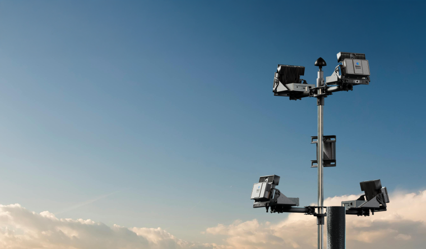
MatrixSpace has announced that the Palm Springs Police Department (PSPD) has expanded its Drone as First Responder (DFR) programme, establishing the largest first responder agency coverage area (37 square miles) monitored by radar sensors instead of humans in the United States.
The PSPD’s programme expansion was made possible with multiple remote drone launch points across Palm Springs using MatrixSpace’s low airspace awareness technology. This has also supported the city’s application for a Federal Aviation Administration No Visual Observer flight operations waiver for the safe separation and avoidance of both general aviation and commercial aircraft.
Using a connected network of MatrixSpace 360 Radars, a single PSPD pilot can remotely operate drones from any of three launch locations. To further extend operational capabilities, a network of ten MatrixSpace 360 Radar nodes was installed across the city in preparation for two additional PSPD drone launch sites, and future cooperation with neighboring public safety agencies. Air traffic detection alerts from the MatrixSpace system enables PSPD pilots to fly safely clear of potential aircraft.
Lieutenant William Hutchinson, operations lead at PSPD, said that removing the need for a visual observer speeds up response time, dispatching drones in immediate response to incoming calls from multiple potential locations. “Once we have our FAA waiver we can fly beyond visual line of sight (BVLOS) with just a single operator, with the ability to fly at night and in inclement weather.”
Large scale, low airspace radar sensor networks can also support the operation of future air services in communities like Palm Springs.
For more information


