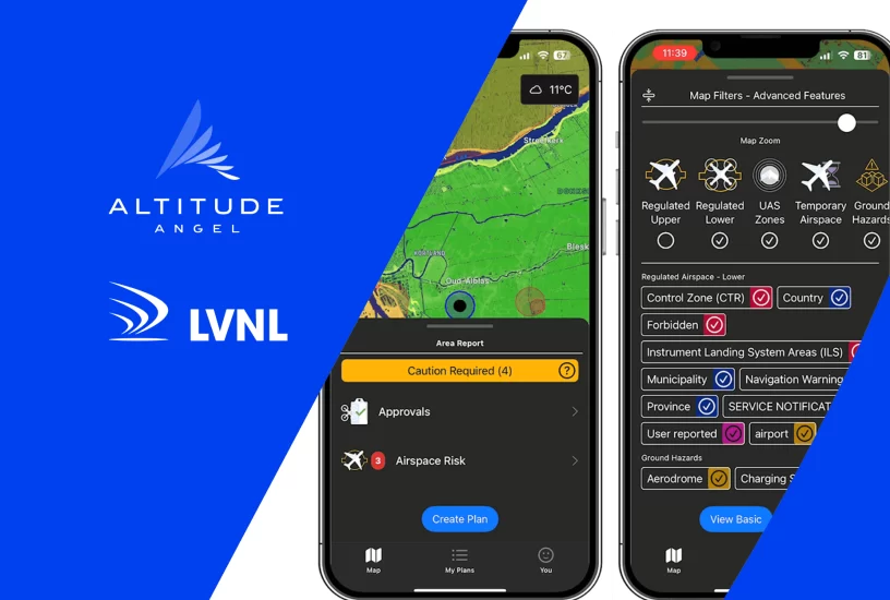
Netherlands ANSP LVNL and Altitude Angel have announced the new look GoDrone flight planning app, which went live yesterday (21 June) on iOS and Android.
Designed and powered by Altitude Angel, the GoDrone app provides flight planning for professional and recreational drone pilots across the Netherlands. Originally launched in 2020, GoDrone 2.0 includes new features and includes enhanced integrated flight planning, advanced flight plan drawing tools, and in a first for the Netherlands – flight approval services – the ability to request access to fly digitally in airspace such as an airport’s controlled traffic region (CTR)– through the app.
An important change in the approval process for flying within the CTR for drones is the introduction of an additional status for mission plans. The status ‘reviewed’ is granted when a mission plan has been reviewed and provisionally accepted by LVNL’s operational helpdesk. On the day of the flight, if air traffic control signs off on the flight, the mission plan is given the status ‘approved’ giving the drone pilot permission to call up to the tower directly.
GoDrone app users will be able to view flight restrictions with clear visual indicators. Area reports for the open category highlight prohibited, cautionary, and safe areas. New map types provided include satellite imagery. GoDrone also now displays a list of ground hazards within the pre-flight report. Each hazard is clickable, providing detailed information to ensure a safe flight. In addition, users can input and save information for all their drones directly within the app, allowing them to manage your fleet and ensure they have the right equipment for each mission.
Information and feedback was collected from the drone community to optimise the information provided. The engineering team at Altitude Angel re-designed the app after collating, analysing and understanding this user feedback.
For more information


