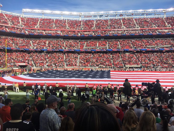
The Drone Advisory Council (DAC) has released a report that recommends significant modifications to the current airspace restrictions at sporting events in the United States.
The current Notice to Airmen (NOTAM) for stadiums, originally designed post-9/11 for traditional aircraft, has been applied uniformly to drones, but the DAC says this broad application results in a restriction encompassing over 125,000 square miles annually, impacting thousands of legitimate drone operations that pose minimal risk.
“The NOTAM does not apply to pre-season National Football League (NFL) games; only to regular and post-season games,” the report states. “Furthermore, you can fly at the very same stadium the next day when there’s a concert, as the NOTAM is not in effect then. Essentially, the current NOTAM is not risk-based but rather event-based. The NOTAM does apply to a Major League Baseball game with 1,000 people in attendance, but not to a pre-season NFL game with 50,000 people in attendance.”
The DAC’s recommendations include creating a drone-specific NOTAM that limits the restricted area to the immediate fence line of stadium properties. This adjustment would reduce the controlled airspace from a 3-nautical-mile radius to a more precise and risk-oriented perimeter, effectively lowering airspace restrictions around stadiums by over 99% to just 11 square miles.
The recommended changes also include the establishment of permanent digital data sets to improve the visibility and management of these restrictions, thereby eliminating the need for real-time updates tied to specific game times or other fluctuating factors. The same method is utilised to secure critical infrastructure like nuclear facilities.
The DAC intends to work with the Federal Aviation Administration (FAA), Congress, and other stakeholders from professional sports leagues to drone operators to implement these changes. The DAC said that FAA officials and public safety agencies have acknowledged that a drone-sized and scope NOTAM would be more effective than the current arrangement.
“The FAA has already published a list of stadiums that LAANC providers display on their maps today,” the report states. “In the first phase of implementation, this existing data set would need only to be changed from a specific point (currently consisting of a coordinate with a latitude and longitude) to a polygon (consisting of a geojson shape to depict the property line of the stadium grounds). This data would be machine-readable and would not require real-time updates for game times, rain delays, or venue changes.”
The DAC recommends a second phase of implementation that includes the ability for additional stadiums and venues to apply to be included in the official stadium data set. This could follow a similar approach that the FAA uses to establish FRIAs, which would allow additional sports leagues and event types not currently covered by the current NOTAM to apply to be included in the new drone NOTAM.
Drone pilots needing to fly in the areas would be able to apply for waivers or authorisation, allowing media, construction, public safety, and other necessary and compliant drone operations access to fly on stadium grounds.
For more information


