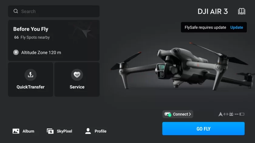
Drone manufacturer DJI is updating its geofencing system in a move that applies to most of its consumer and enterprise drone products in the United States.
The update is intended to help pilots better understand where they can and cannot fly and avoid unintended flights in restricted zones. DJI’s Fly and Pilot flight app operators will see prior DJI geofencing datasets replaced to display official US Federal Aviation Administration (FAA) data.
Areas previously defined as Restricted Zones (also known as No-Fly Zones) will be displayed as Enhanced Warning Zones, aligning with the FAA’s designated areas. In these zones, in-app alerts will notify operators flying near FAA designated controlled airspace, placing control back in the hands of the drone operators, in line with regulatory principles of the operator bearing final responsibility.
DJI first introduced its GEO system in 2013. “Since then, global regulations and user awareness have evolved significantly, with a greater focus on geo-awareness and Remote ID solutions which makes detection and enforcement much easier,” DJI said in the update statement. “National aviation authorities, including the European Aviation Safety Authority (EASA) in the EU, the UK Civil Aviation Authority and the FAA in the US, have established comprehensive geographical zones for unmanned aircraft systems (UAS) and enforce drone regulations.”
An updated GEO has been active in the UK and several EU countries since January 2024, starting with European countries that have implemented geographical maps compliant with existing technical standards, such as Belgium, Germany, and France. In June, it expanded to Estonia, Finland, and Luxembourg. The remaining EU countries under EASA jurisdiction will also receive the update this month.
For more information


