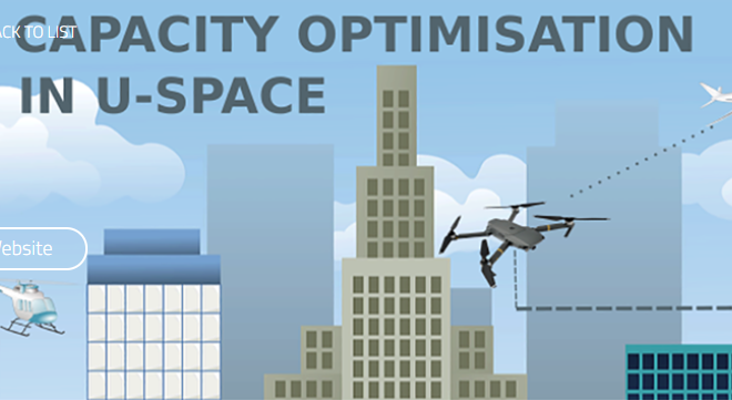
The DACUS SESAR research project has published a project paper to address: UAV Collision risk as part of U-space demand and capacity balancing. The DACUS project is developing a concept for balancing capacity and demand for U-space airspace, in line with operational requirements which are unique to the Unmanned Aerial Vehicle (UAV) domain.
The paper focuses on exploring the role of collision risk between UAVs in preparation for largescale operations of UAVs in urban environments. A collision risk model was developed and tested in a series of experiments as a means of identifying how many UAVs can operate in a given area without exceeding pre-defined risk thresholds. The paper presents the methodology behind this model, and support claims based on results gathered from some initial experiments. Results provide some initial estimations of airspace capacity values for urban environments, which will be further refined in future experiments.
The paper concludes a limited number of UAVs can meet industry specified target safety levels for a population with a given number of inhabitants. However, the goals become harder for environments with higher population densities, and require additional traffic measures such as flight plan deconfliction and airspace structuring. The impact of such measures will be addressed in ongoing studies of the DACUS project.
For more information visit:
www.dacus-research.eu


