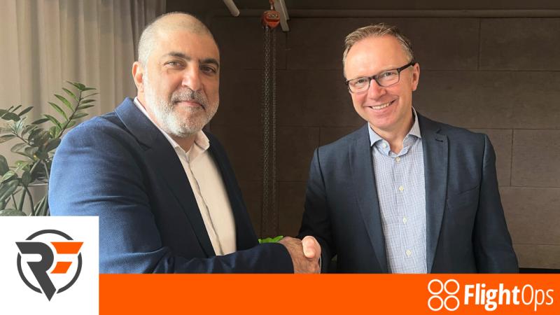
FlightOps and AirborneRF have announced a joint partnership that enables drone operators to access dynamic population density and communication coverage maps using the FlightOps operating system targeting increased safety, says the press release. The partnership aims to address some of the key challenges drone operators currently face, including automating the approval process for aerial operations and providing faster, real-time data updates from existing telecommunications infrastructure.
FlightOps’ advanced drone operating system offers a cloud service that enables drone service providers to overcome traditional barriers associated with scaling airborne Beyond Visual Line of Sight (BVLOS) drone operations by automating the entire flight process, replacing the role of the human pilot.
FlightOps has already partnered with industry players such as DroneUp and Qualcomm. By integrating flight automation technology with real-time, multi-dimensional data feeds like population density and communication coverage, FlightOps aims to lower the expenses tied to skilled pilots while enabling the safe execution of hundreds of daily missions.
AirborneRF’s connectivity data platform for BVLOS drone operations in cellular networks expands the FlightOps drone operating system with dynamic information on airborne connectivity and population density data for ground risk considerations. Such data can unlock regulatory approvals for automated long distance drone services in industries such as agriculture, transportation, insurance, telecommunications, and others, says the press release. These commercial services are expected to grow and provide great opportunities for network operators in the future.
The AirborneRF software processes the dynamic information needed for safe 3D airspace communication and for ground risk assessment and delivers this data to the FlightOps system to enable BVLOS services at scale.
Shavy Levy, Founder and CEO of FlightOps, said, “By launching this capability integrated within FlightOps that allows us to use maps of population density and communication coverage in our fully automated process, dramatically enhancing safety and reducing ground risk.”
For more information visit:


