

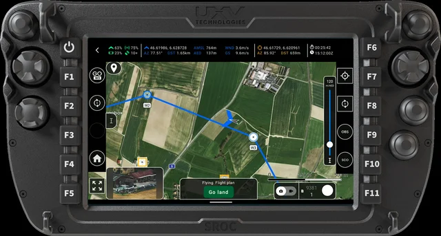
AgEagle Aerial Systems has launched its eBee VISION next generation application software. New features include the capability for manual position updates with map referencing to provide precise navigation even in GNSS-denied areas where satellite signals are unavailable or unreliable due to various factors.
The software is designed to enable uninterrupted drone navigation when GPS is jammed, spoofed, or blocked, which AgEagle says are common scenarios in tactical defence and critical infrastructure inspections.
Additional upgrades include optical flow stabilisation, adaptive behavior after GNSS recovery or visual repositioning, improved ground detection to help prevent false landings, real-time energy estimates, LIDAR-calibrated landings, a self-cleaning mechanism for gimbal auto-recovery, and improved operation in high winds and extreme heat.
For more information
