

The United States Federal Aviation Administration (FAA) has released a new map that has been designed to make it easier to find FAA-Recognised Identification Areas (FRIA).
In the United States, all drones that require registration or that are registered must comply with Remote ID, which provides drone identification and location information through a broadcast signal while in flight. FRIAs are locations where drones can be flown without Remote ID equipment. The FAA notes however that not all FRIAs are public access and may require pre-approval to fly in them.
For more information
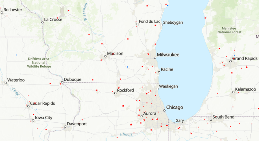
Image: Screenshot from the new FRIA map (FAA)
